Mt Bogong Landslip Digital Twin
Client: Department of Transport and Planning
Location: Victoria
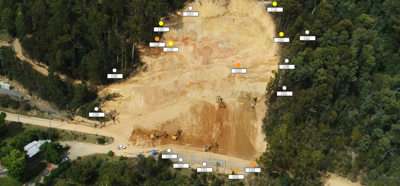
Veris was engaged to provide continuous monitoring of the Mt Bogong site for the Department of Transport and Planning (DTP) during a critical landslip remediation project. Utilising IoT sensors, Veris captured and monitored the site 24/7 over a period of nine months. The landslip, initially detected at approximately 70 meters high and 100 meters wide, was one of the largest landslips to impact Victoria’s road network in 40 years.
Solution
To manage these risks, Veris implemented a comprehensive Digital Twin approach:
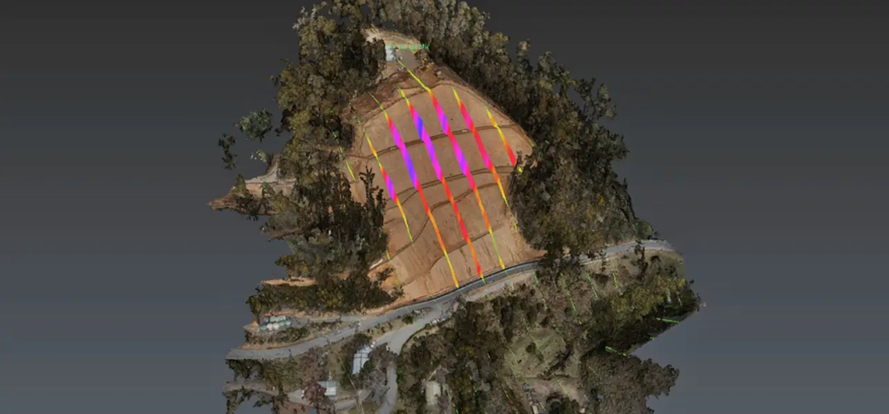
3D Change Analysis: 40 epochs of aerial LiDAR and 3D photogrammetric meshes captured
Real-Time Monitoring: Installed and maintained an array of precise tilt monitors reporting on 5-minute intervals. Additionally, 25 IoT GNSS sensors to monitor 3D deformation.
Online 3D Visualisation: The LiDAR point clouds, and 3D mesh were made securely available through Veris’ 3SiDe platform.
Outcomes
Enhanced Safety: Veris’ IoT sensors provided 24/7 monitoring, enabling remote management of the Mt Bogong landslip site. This approach minimised on-site risks, ensuring the safety of all personnel involved in the remediation process.
Real-time Alerts: The sensor network delivered real-time updates and alerts on slope movement, allowing Veris to quickly detect changes and provide critical insights to the Department of Transport and Planning for timely interventions.