At Veris, we provide highly accurate aerial surveying, mapping and inspection services utilising the latest unmanned aerial vehicle (UAV) technology. We maintain a fleet of UAVs to suit all purposes – and can propose a solution to meet your specific project needs.
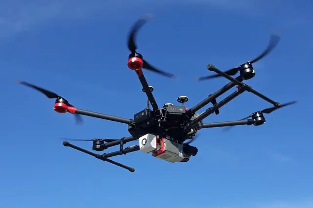
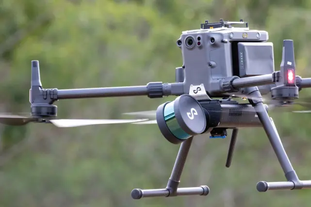
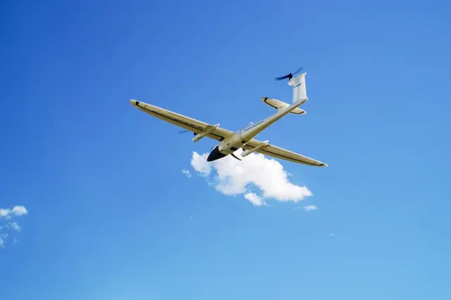
Our fleet of rotary and fixed wing UAVs offer a range of aerial data capture applications and deliverables including photogrammetric and LiDAR point clouds, autonomous LiDAR, aerial asset inspections, thermal imagery, georeferenced orthoimagery, 3D reality mesh models and a web based visualisation platform.
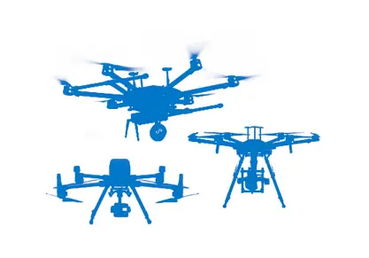
Fleet of UAVs
We have a fleet of state-of-the-art UAVs to suit all purposes and deliver the most efficient outcome for your project.

Fully Certified & Licensed
Our highly skilled pilots hold all required CASA certifications and licenses giving you piece on mind and reducing project risks.

Rapid Mobilisation
Our national footprint and operational capacity means we can mobilise our UAV technology and pilots to your projects faster.
Our Services
We deploy our UAVs and specialist payloads to offer a range of spatial data services including:
- Asset Inspection
- Condition Assessments
- Thermal and NIR Imaging
- Indoor / Underground Mapping
- Colourised Site Visualisations
- Stockpile Volume Calculations
- Terrain Mapping.

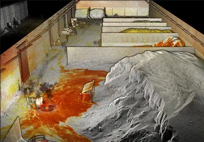
Applications
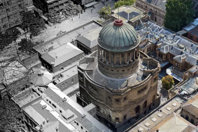
3D Reality Mesh Models
Get a highly accurate, photorealistic survey of your assets. UAV can be combined with other forms of data capture and processed to develop a rich and accurate 3D mesh.
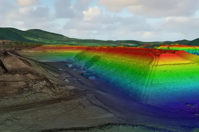
Stockpile Measurements
Perform large scale stockpile mapping and volumetric calculations. Compare your current stockpile volumes to previous surveys, while measuring faster, safer and more accurately.

Georeferenced Orthomosaics
View geometrically corrected, high quality aerial imagery of your assets. Get an updated view of your project, measure distances, monitor progress. Overlay with other elements such as subsurface utilities and contours.
Fully certified and licensed
We have over 25 CASA approved UAV pilots across Australia and are certified by CASA as a Remotely Piloted Aircraft Operator (RPA) in three categories including Fixed Wing Aircraft (Up to 7kgs), Multi-rotor (Up to 25kgs) and Powered Lift (up to 7kg). Our national footprint and operational capacity means we can mobilise our drone technology and pilots to your projects faster. In addition, our team offers end-to-end solutions for our clients by combining our highly skilled and experienced UAV pilots with our industry leading knowledge and expertise in survey and spatial documentation services.
State-of-the-art UAVs that are ready to deploy
Whether you require aerial LiDAR or an inspection and mapping solution, our UAVs are ready to deploy, supporting multiple payloads and deliverables. Our fleet includes rotary and fixed wing UAVs from leading technology manufacturers including DJI and Quantum Systems. Our payloads include state-of-the-art laser measurement LiDAR technology from RIEGL and Hovermap, along with a variety of specialist still, video, thermal and global shutter photogrammetric cameras.
Reduce safety risks
Reduce or eliminate site safety risks by keeping your workforce away from hazards and danger. Our UAV solutions eliminate working at heights risks, by surveying, mapping and inspecting assets from the air at a safe distance. In addition, exposure to hazards associated with infrastructure such as transmission and distribution lines, pipelines, vertical structures, bridges, roads, railways and underground structures can all be reduced by ensuring your workforce is not in close proximity.
3D Modelling & Visualisations
We’re leaders in spatial data capture and applications that enable actionable insights and better decision making. Our Digital & Spatial team can convert high resolution imagery and point cloud data captured by our UAVs into 3D models and visualisations.
Find out moreSecure, cloud-based data delivery and visualisation platform
Our secure cloud-based data delivery and visualisation platform, 3SiDe, allows you to easily access, interrogate and download your 3D data from the cloud to your desktop through a web browser. 3SiDe is available under our Data-as-a-Service subscription model.