Why Veris for Octave
Octave software, backed by Veris' spatial expertise
Veris brings together product access, local support, technical training, spatial advisory and implementation experience - so your teams get more from Octave software from day one.

Local product support
Australian-based specialists

License procurement and guidance
Advice on the right product edition, license type and structure.

Implementation and onboarding
Software setup, data integration and workflow configuration tailored to your organisation.

Product training
Introductory, advanced and custom training for GeoMedia, Imagine and Alto users at every skill level

Workflow integration
Connect Octave into your existing spatial data platforms and enterprise application environments.

Upgrade and migration support
Structured pathways for teams transitioning from legacy environments.
Octave Products
Choose the right Octave product for your workflow
Three enterprise-grade products covering the full geospatial intelligence stack. Veris provides licensing, implementation, support and training for each product.
Octave Alto
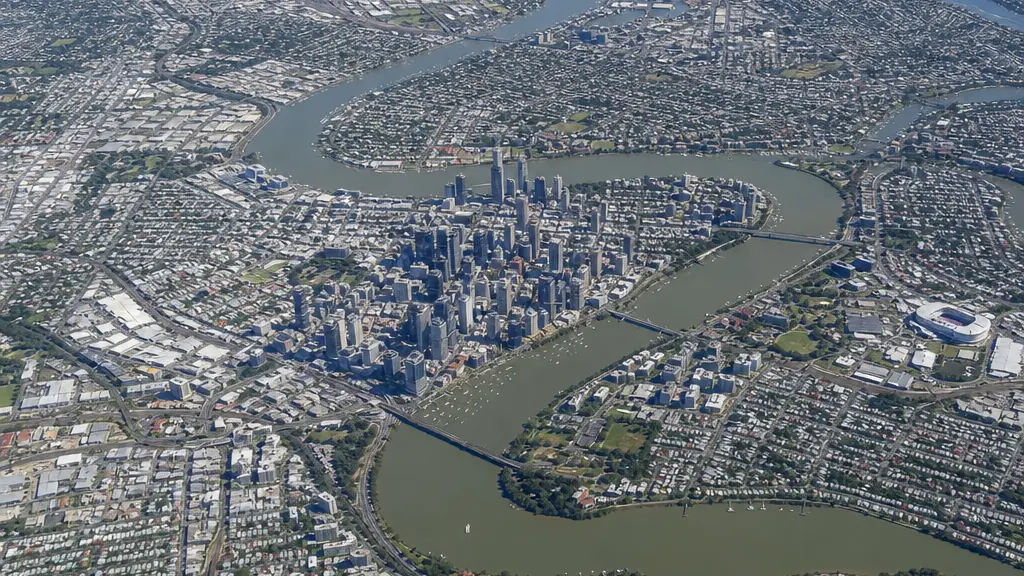
Advanced 2D/3D/4D geospatial visualisation and real-time situational awareness. Fuses live data feeds, sensor data and enterprise sources into a single operational picture.
Octave GeoMedia
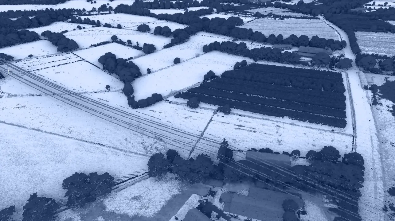
Enterprise GIS for spatial data management, 2D/ 3D visualisation, spatial analysis and cross-system interoperability. Supports 300+ data formats including CAD, GIS and database systems.
Octave Imagine
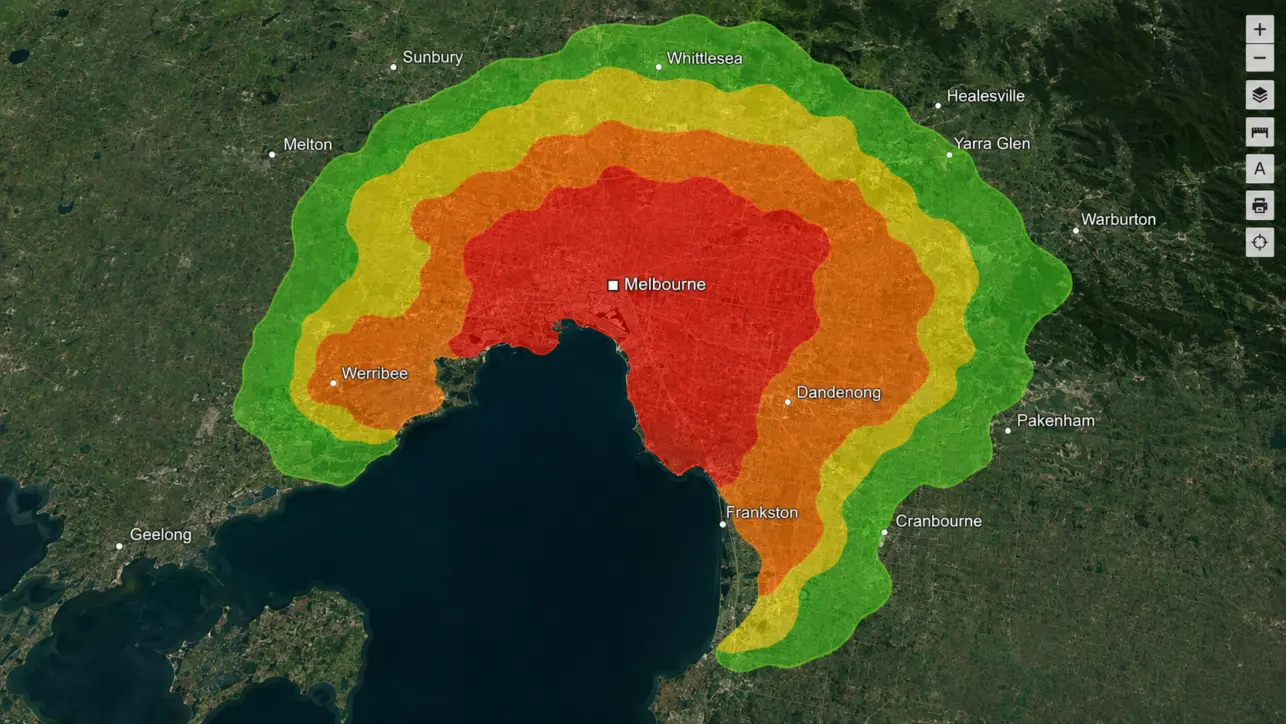
Professional remote sensing and imagery analysis software for satellite, aerial, UAV and LiDAR data. Supports image classification, change detection, photogrammetry, AI-assisted analysis and workflow automation.
Talk to Veris about Octave Geospatial Products
Enquire about Octave products and licensing, book a demo, or ask about Octave Geospatial Products training and support for your team.