Road Network Assessment - The Shire of Mingenew
Location: Western Australia
Client: Shire of Mingenew
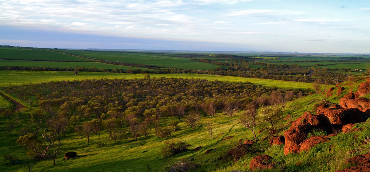
The Shire of Mingenew is located approximately 100 km southeast of Geraldton in Western Australia. Spanning over 2,000 square km, the region is primarily an agricultural hub, home to the largest onshore grain receival facility in the Southern Hemisphere, as well as thriving sheep and tourism industries.
Due to the grain freight network and seasonal agricultural activities, significant volumes of heavy vehicles traverse the Shire’s roads at certain times of the year, contributing to increased wear and tear. Additionally, mining activities in the region further stress the road infrastructure. The mixed-use nature of these roads, accommodating both industrial and tourist traffic, creates a complex challenge for the Shire in managing its road network effectively.
The Challenge
The Shire of Mingenew faces the challenge of maintaining a diverse road network that includes both sealed and unsealed roads, ensuring that the infrastructure remains safe and fit for purpose. Historically, road maintenance decisions were based on traffic volumes and anecdotal evidence, limiting the Shire’s ability to adopt a strategic, data-driven approach to managing road assets.
To better manage its annual program of works, the Shire sought to achieve the following goals:
- Understand the pavement condition of its 151 km of sealed roads.
- Measure the gravel thickness of its 300 km of unsealed roads to optimise material procurement and distribution
These insights would be crucial for planning and prioritising maintenance activities, securing funding, and ensuring that the Shire’s budget is used efficiently.
Our Solution
Veris was engaged by the Shire of Mingenew to address these challenges through a tailored, innovative and technology-driven approach. The project was designed to meet the specific needs of the Shire while ensuring a sustainable and practical solution.
A collaborative approach to project designGiven that this was a pilot project, close collaboration with the Shire was paramount. We worked directly with the Shire’s team from project inception, listening to their concerns and goals to design an innovative solution that addressed the unique challenges of maintaining such a mixed-use road network. | ||
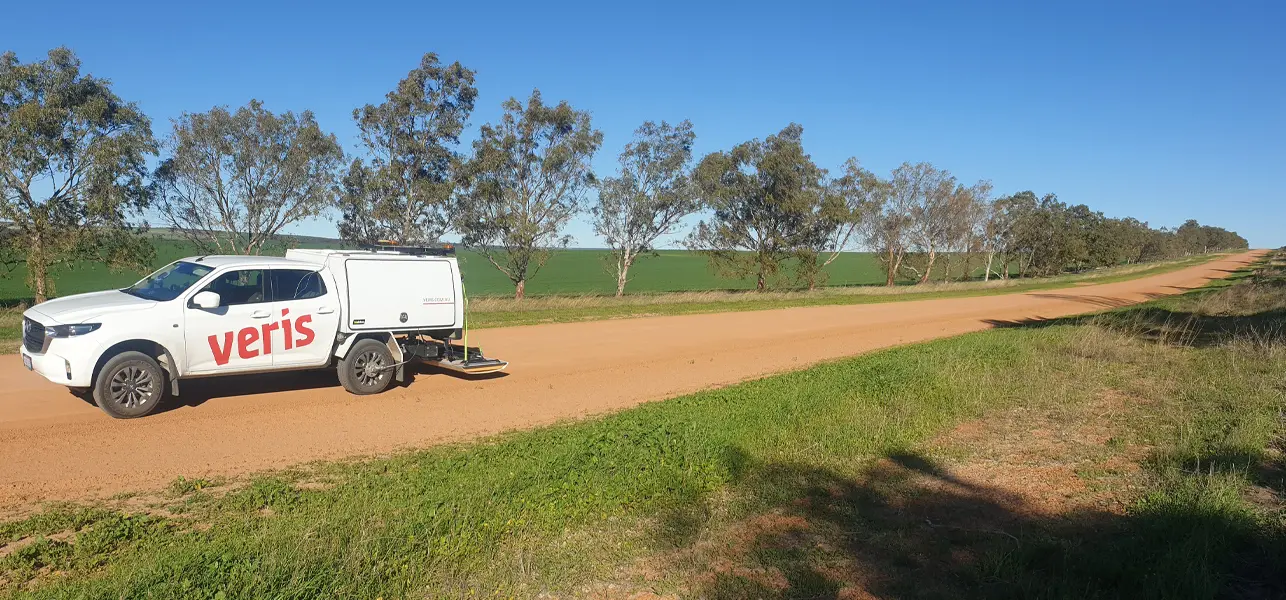
Deploying MLS to capture existing road conditionsTo capture the existing condition of the road network, Veris deployed Mobile Laser Scanning (MLS) technology, incorporating both LiDAR and high-resolution imagery. MLS was used to capture the road corridor, gathering detailed data on road surface conditions for both sealed and unsealed roads, delivering relative accuracy ± 100mm. Imagery was captured at 5-meter intervals, providing a comprehensive, asset-grade visual record. This process required adapting to environmental conditions such as dust, weather, and rain, particularly when operating on gravel roads. Despite these challenges, the MLS system was able to capture high-quality, spatially accurate data and imagery, providing a detailed snapshot of the road surface that could be used to assess issues like cracks, rutting, and road width. | ||
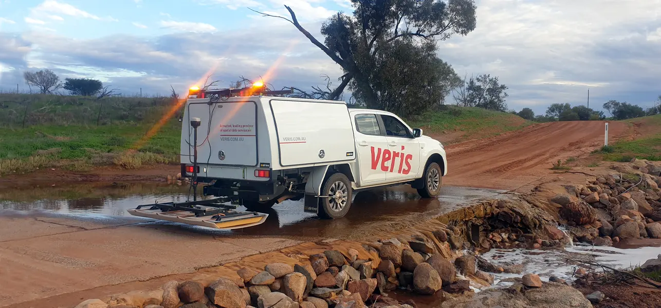
Using 3D GPR to assess gravel thicknessFor the unsealed roads, Veris utilised innovative 3D Ground Penetrating Radar (GPR) technology to assess the thickness of gravel beneath the surface. The vehicle-towed 3D GPR sensor is designed for high-speed 3-dimensional subsurface assessment. Driving over 300km of unsealed roads, our team was able to collect data on gravel depth across the road network, a critical factor in planning road maintenance and material procurement. | ||
Bringing together data from above and below the surfaceThe combination of MLS and 3D GPR provided a holistic view of the road network’s condition, both above and below the surface, giving the Shire unprecedented insight into its road assets. Further, the use of the 3D GPR technology to identify gravel depths and assess road conditions in this manner is a first for local Governments (LGAs) in Australia, placing Mingenew at the forefront of road network management innovations. | ||
Unlocking virtual inspections, analytics and insights with RoadSiDe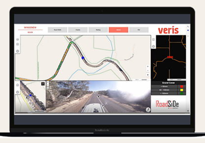 Once the data was collected, it was uploaded into Veris’ own cloud-based platform, RoadSiDe. The platform acts as a central dashboard, hosting all the point cloud, imagery and mapping data, and is available to access through any web browser. The platform allows a variety of key stakeholders to visualise road conditions in both 2D and 3D, and includes tools to analyse factors such as road width, surface condition, and gravel thickness. For added analysis and insights, a colour rating system enables users to quickly identify areas on the road network where conditions are within, our outside of, specified parameters. In collaboration with the Shire, Veris also developed a Pavement Condition Index (PCI) for the sealed roads, based on the WALGA (Western Australian Local Government Association) road condition guidelines, which was incorporated into the RoadSiDe platform. This index enabled the Shire to quantify the condition of their sealed road network in a standardised manner, allowing for more precise decision-making. |
Outcomes
As a result of the project, the Shire of Mingenew now has access to detailed, data-driven insights that are transforming how it manages its road network. Key outcomes include:
 | Targeted Maintenance
With a clear understanding of road conditions, the Shire can prioritise its maintenance activities more effectively, addressing the areas that need attention the most. This allows for better allocation of its annual program of works. | |||
 | Informed Material Procurement
By understanding and quantifying the gravel thickness across its unsealed roads, the Shire can now procure materials more accurately and distribute them more strategically, reducing waste and optimising resources. | |||
 | Cost Planning and Budget Optimisation
The data gathered allows the Shire to develop cost scenarios based on required gravel thickness and road conditions. This information supports procurement efforts by quantifying materials and costs more accurately, ensuring budget efficiency. | |||
 | Data-Driven Advocacy
The evidence collected can be used to advocate for appropriate road use by industry and government stakeholders, ensuring that the Shire’s roads are maintained to a standard that supports both agricultural and tourism traffic. This transparency also supports justifications for rates increases to meet the demands of road upkeep. | |||
 | Virtual Inspections and Better Decision Making With access to a centralised, web-based platform like RoadSiDe, the Shire can visually inspect and make more informed, data-driven decisions regarding road maintenance. | |||
 | First-of-its-Kind Technology Application The use of technology to identify gravel depths and assess road conditions in this manner is a first for LGAs in Western Australia, placing Mingenew at the forefront of road network management innovations. |
In conclusion, Veris’ innovative approach has provided the Shire of Mingenew with the tools and insights it needs to maintain a safe, efficient, and sustainable road network, ensuring that it can meet the needs of its community for years to come.