How Customised GIS Training Helped Stawell Gold Mine Build Spatial Capability
When organisations rely on accurate spatial data to make informed decisions, investing in the right GIS skills becomes essential. At Veris, our customised GIS training programs are designed to upskill teams quickly and effectively, whether they are new to GIS or looking to enhance existing capability.
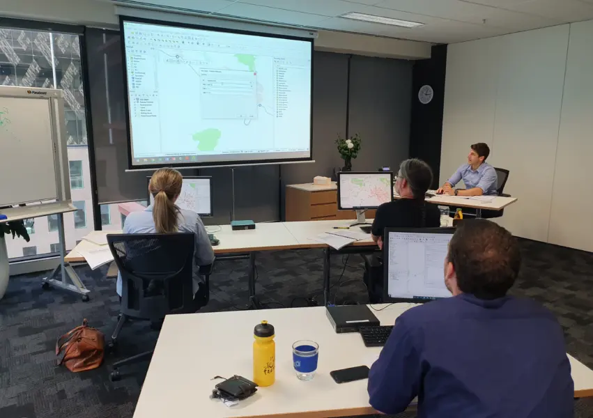
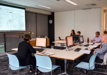
Veris was engaged by Stawell Gold Mine to deliver a tailored introductory QGIS training course on-site. The outcome was a confident team, strengthened mapping skills, and a smoother workflow for data management.
The challenge: building GIS confidence across the team
Stawell Gold Mine needed a practical, beginner friendly GIS training course to help build staff capability in using QGIS for mapping and spatial analysis, while ensuring participants received hands-on experience with real data and workflows. While team members understood the importance of accurate mapping and analysis, most had limited experience using QGIS.
Their goals were clear:
- Develop foundational QGIS skills across the team
- Use real, client-specific datasets to make training directly applicable
- Deliver the course face-to-face, with hands-on guidance
They needed training that was structured, supportive and immediately applicable in day-to-day operations.
Our approach: tailored QGIS training designed for real-world use
To meet their needs, Veris designed a customised Introduction to QGIS course aligned with the client’s data, workflows and skill levels.
Preparation included:
- Developing course materials built around QGIS 3x fundamentals
- Preparing tailored exercises using Stawell Gold Mine’s own datasets
- Producing digital and printed training manuals
- Pre-loading course materials onto laptops to streamline set up
- Setting up the venue the day before to ensure a seamless training experience
Key features of the customised training
Customised course content: Exercises and examples were aligned with client-specific data and workflows, ensuring immediate practical relevance.
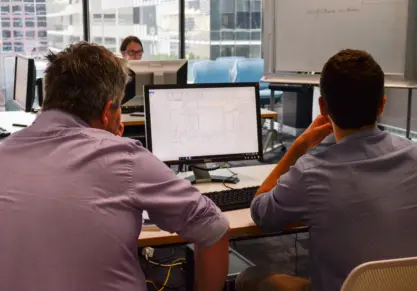
Hands-on learning: Participants worked through practical exercises using QGIS software and real datasets to apply learnings.
Pre-configured workspaces: This minimised setup time, reduced technical issues, and allowed participants to focus on learning.
Professional recognition: All participants received Certificates of Participation to support professional development.
The outcome: a confident and skilled team in QGIS
The training was a strong success, with all eight participants reporting increased confidence using QGIS. By the end of the session, staff could:
- Add and manage spatial data in QGIS
- Perform essential spatial tasks and queries
- Edit and symbolise data
- Create map outputs for reporting and analysis
The combination of customised content and practical exercises meant participants were able to apply their new skills immediately back on site.
What participants said:
The training was relaxed, yet professional and covered a lot of ground. As an entry-level user, I was impressed with how much information I picked up.
Well-organised instructors, excellent delivery of course material. 10/10, would book again.
Ready to build your team’s GIS capability?
Whether you need QGIS, ArcGIS, or broader spatial data and software training, Veris designs and delivers customised GIS courses that fit your workflows, datasets, and goals. We can run sessions on‑site, online, or at one of our training locations across Australia.
Explore Veris’ full range of GIS Training Courses:
Talk to us about custom GIS training and mentoring programs. Our team will help you build confidence, capability, and consistency in your spatial data workflows.