Preserving Nature, Redefining Infrastructure
Client: Cardinia Shire Council
Location: Victoria
The Challenge
When upgrading their town centre and road infrastructure, Cardinia Shire Council encountered a two-fold challenge: enrich the urban environment while safeguarding the ecological and aesthetic value of numerous trees. The complexity formed from the need to accurately identify and manage intricate underground tree root systems intricately intertwined with the proposed road designs. To solve this challenge, a comprehensive solution was required, one that brought together road design adjustments with tree preservation, optimised costs, streamlined community engagement, and upheld environmental sustainability. This is where Veris' advanced spatial technology and expertise came into play.
Our Solution
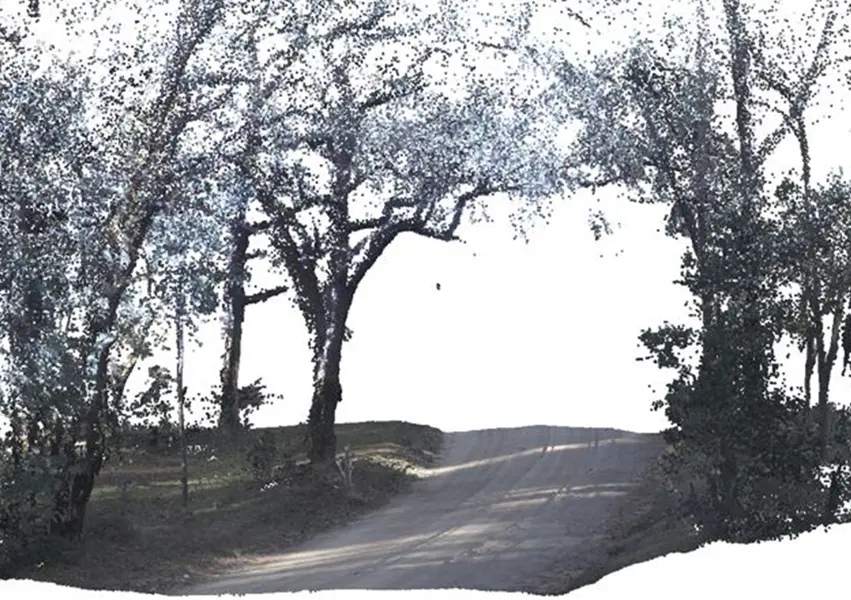
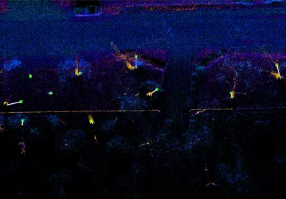
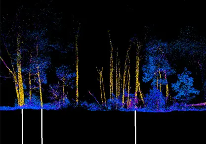
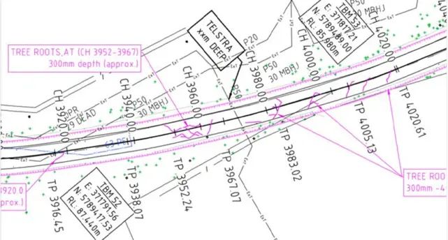
In close collaboration with Cardinia Shire Council, Veris introduced an innovative solution that employed the capabilities of cutting-edge 3D technology - ground penetrating radar (GPR) and mobile laser scanning (MLS). Veris embarked on the application of 3D GPR technology, deploying it for the first time to map underground tree root systems. This was complemented by MLS capturing a three-dimensional representation of the road corridor.
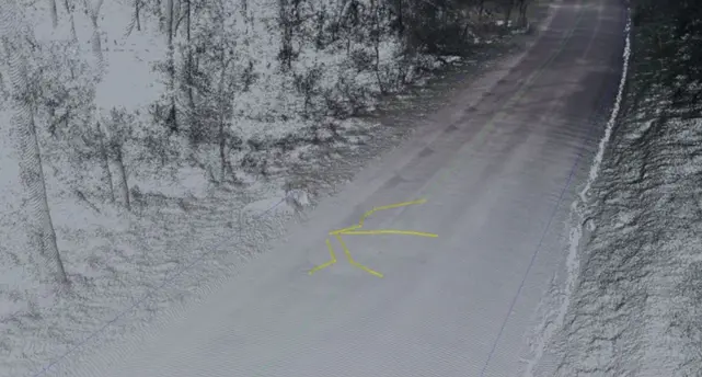
The collected data was meticulously processed to create accurate 3D models of both the road corridor and the identified tree root systems. These models served as the foundation for design adjustments that protected the trees while achieving the desired road infrastructure upgrades. The accuracy of the GPR measurements was validated through non-destructive digging, and an independent arborist affirmed the precise localisation of tree roots, adding an extra layer of confidence to the results.
Outcome
The outcome of this collaborative effort was a success on multiple fronts. The outcomes include:
Harmonious Coexistence: Identification of tree root systems and strategic road design adjustments enabled Cardinia Shire Council to strike a harmonious balance between urban development and environmental preservation.
Tree Safeguarding: Meticulous vertical road alignment adjustments, reducing Dore Rd's vertical clearance to 150mm instead of the initial 300mm, while avoiding intrusion into tree protection zones. Safeguarding hundreds of trees, ensuring their longevity and contributing to the ecological richness of the area.
Cost Reduction: Astounding cost savings of over $330,000 were achieved, signifying a remarkable 60% reduction in construction costs.
Effective Community Consultation: The utilisation of 3D flythroughs streamlined community consultation, rendering the project more comprehensible and fostered broader community engagement.
Industry Recognition: Recognition from the Institute of Public Works Engineering Australasia acknowledged the project's innovative approach and its alignment with sustainability and community engagement principles.
Positive Media Attention: Coverage in local media spotlighted the project's success, further underscoring its value to the community and the broader public.
Sustainability and Efficiency: The project exemplified the alignment of sustainability principles, cost-efficiency, and community engagement, showcasing Cardinia Shire Council's commitment to responsible resource allocation.
Expertise in Advanced Technology: Veris' expertise in advanced spatial technology and its pioneering use showcased the power of technology-driven solutions in addressing complex challenges and achieving sustainable outcomes.
This collaborative project shows the efficacy of innovation-driven solutions and transforming challenges into opportunities for positive change.