Sydenham to Campsie 3D Modelling
Sydney Metro is Australia’s biggest public transport project. From the north west, metro rail is being extended under Sydney Harbour, through new underground city stations and beyond to the south west.
The challenge
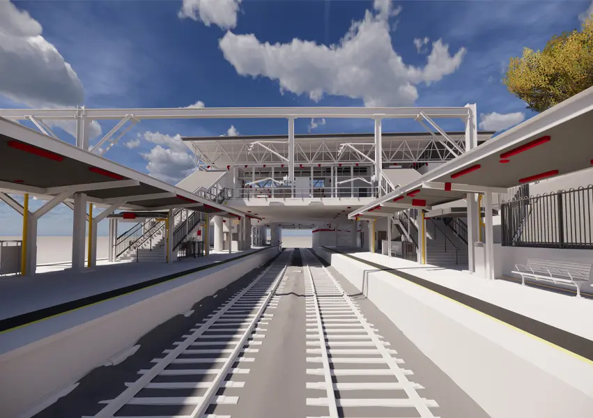
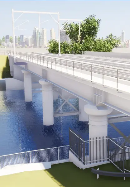
To support the Tranche 1A Sydenham to Campsie Metro upgrade works as part the Sydney Metro City & Southwest project, a feature survey was required inclusive of 9 live train stations, 24 bridges and 12km of corridor track. Due to the rail lines being in service, possession and access times were very limited.
In addition, as part of the brief, the client wanted the project to be a pilot to meet aspirational aspects of point cloud and 3D data modelling contained in the Transport for NSW (TfNSW) Digital Engineering Execution Plan (DEXP).
Our solution
Given a tight timeline to complete the field survey, the specifics of the sites including restricted access, as well as understanding the Digital Engineering deliverables required, we adopted a 3D laser (LiDAR) scanning methodology to complete the feature survey works. This included performing both terrestrial and mobile laser scanning techniques and advanced workflows to deliver highly detailed as-built 3D documentation of the sites.
The final deliverable included elements that can be used in all common data environments:
- Revit Model in .RVT
- 3D Stringline Feature Extraction in .DWG
- 3D laser Scanned Point Cloud in .RCP
- Revit Model export in .IFC, .NWC and .DWG formats
- Point cloud derived TIN in .DWG
Benefits
Through the successful delivery of our works, the Digital Engineering Execution Plan (DEXP) went from aspirational to realised for TfNSW and the John Holland / Laing O’Rourke Joint Venture. This project took a proof of concept and developed it for adoption across the whole Sydney Metro program.
Further, in adopting a 3D laser (LiDAR) scanning methodology to complete the feature survey works, we were able to:
- Reduce the requirements for a physical presence on site delivering significant safety and efficiency gains on the project
- Complete the survey in shorter period of time with a high level of detail (LOD 300 modelling)
- Provide a valuable, visualisation, simulation and design tool for the client for improved collaboration
- Set a benchmark in 3D scanning and modelling of large-scale rail infrastructure projects to meet digital engineering requirements.