An enterprise GIS platform that brings together diverse spatial data, enables 2D and 3D analysis, and supports decision-making across complex organisations. Veris provides GeoMedia licensing, implementation, support and training for Australian clients.
Product overview
Enterprise GIS for complex spatial environments
Octave GeoMedia is designed for organisations managing large volumes of spatial data across multiple systems. It provides a reliable enterprise GIS platform for spatial analysis, visualisation and information sharing, helping teams work confidently with complex geospatial environments.
Unlike desktop-only GIS tools, GeoMedia works with data in its native format across CAD, GIS and database systems, reducing the need for data conversion and supporting more efficient, connected workflows.
Octave GeoMedia is the latest release of the GeoMedia product line, which includes ImageStation and WebGIS.
Simultaneous multi-source data access
Connect to and analyse data from over 300 formats, including CAD, Oracle Spatial, SQL Server, PostGIS, WMS/WFS/WCS services - simultaneously without copying or converting files.
2D and 3D visualisation
Create interactive maps, 3D models and dynamic reports. Display diverse data formats in a single unified view for comprehensive spatial insight and stakeholder communication.
Spatial analysis and network modelling
Perform network modelling, dynamic segmentation, spatial overlays and temporal queries. Advanced analysis tools extract actionable insights from complex spatial datasets.
Real-time data updates
Analyses and visualisations update dynamically as source data changes. GeoMedia maintains a live connection to source systems.
OGC standards and interoperability
Full support for OGC protocols including WMS, WFS and WCS. Share geospatial data across systems and collaborate with other GIS platforms and enterprise applications.
Veris support for GeoMedia
- License procurement and guidance
- Software installation and setup
- Data connection and integration
- Workflow configuration
- User training: introductory and advanced
- Technical support and troubleshooting
- Upgrade planning from legacy GeoMedia
- Enterprise team enablement
Using GeoMedia already?
Octave GeoMedia is the latest release of the GeoMedia product line. Veris supports teams transitioning from earlier versions, including GeoMedia Professional and GeoMedia Smart Client.
Octave GeoMedia in practice
GOVERNMENT
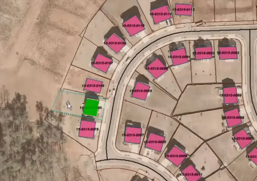
Spatial data management for local and state government
Manage land records, asset registers and infrastructure data from multiple agency systems in a single GIS environment. GeoMedia's multi-source architecture reduces duplication and supports cross-departmental data sharing.
UTILITIES
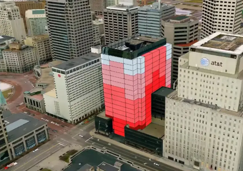
Network and asset management for utilities
Integrate pipe, cable and asset data from enterprise asset management systems directly into a GIS environment. Network modelling and dynamic segmentation support operational analysis and maintenance planning.
INFRASTRUCTURE
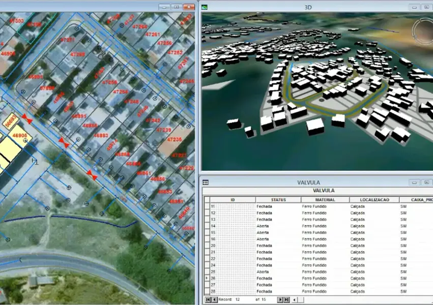
Infrastructure planning and project delivery
Combine survey, design, cadastral and environmental data in a unified 2D/3D environment for project planning, stakeholder reporting and delivery monitoring across major infrastructure programs.
TRANSPORT
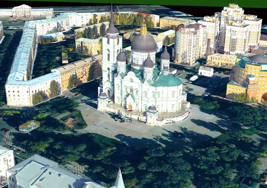
Transport network analysis and management
Network modelling and dynamic segmentation tools support route analysis, condition assessment and infrastructure management for road, rail and public transport networks.
Talk to Veris about Octave GeoMedia
Enquire about GeoMedia licensing, book a demonstration or ask about GeoMedia training and support for your team.