Purpose-built for professionals working with satellite imagery, aerial photography, LiDAR point clouds and earth observation data. Veris provides Octave Imagine licensing, implementation, support and training for Australian and New Zealand clients.
Product overview
The professional standard for remote sensing and imagery analysis
Octave Imagine is a trusted platform for geospatial professionals working with complex imagery and Earth observation data. It supports a wide range of advanced workflows, including satellite image classification, LiDAR point cloud processing and large-volume batch automation, helping users extract meaningful spatial intelligence from diverse data sources.
The Octave Imagine product suite also includes ECW Compression and GeoCompressor, extending its capability beyond traditional imagery analysis to support efficient data compression, management and delivery.
Comprehensive image processing
Advanced algorithms for image classification, change detection, orthorectification and object-based image analysis. Supports satellite, aerial and UAV imagery from a wide range of sensor models.
LiDAR and point cloud analysis
Process and analyse LiDAR point clouds from airborne and ground-based sensors. Generate DTMs, DSMs, canopy height models and 3D building footprints for terrain and surface analysis.
AI and machine learning tools
Object detection, feature extraction and deep learning-based classification tools accelerate analysis workflows. AI capabilities are accessible without specialist coding expertise.
Workflow automation and batch processing
Create and automate complex processing chains using the graphical Model Maker environment. Process large volumes of imagery using multi-core and multi-machine parallel processing.
Extensive data format support
Read and write hundreds of raster, vector and point cloud formats. Native support for ECW, GeoTIFF, LAS/LAZ, HDF, NetCDF and imagery from all major satellite and sensor providers.
Veris support for Octave Imagine
- License procurement and guidance
- Software installation and setup
- LiDAR and imagery data integration
- Workflow configuration and automation
- Introductory and advanced user training
- Technical support and troubleshooting
- Upgrade planning from ERDAS IMAGINE
- Team training and enterprise enablement.
Using ERDAS IMAGINE already?
Octave Imagine is the direct successor to ERDAS IMAGINE. Veris supports teams transitioning from existing ERDAS IMAGINE installations, including license migration and user training.
Octave Imagine in practice
NATURAL ENVIRONMENT
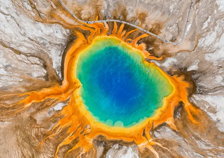
Vegetation mapping and environmental monitoring
Classify land cover and vegetation types from satellite or UAV imagery. Time-series change detection supports monitoring of environmental condition, fire scar mapping and habitat assessment.
INFRASTRUCTURE
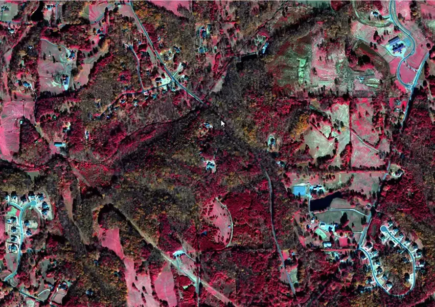
Corridor mapping and infrastructure inspection
Process aerial and UAV imagery for linear infrastructure corridor mapping, condition assessment and change monitoring. Automate orthorectification and feature extraction across large coverage areas.
RESOURCES
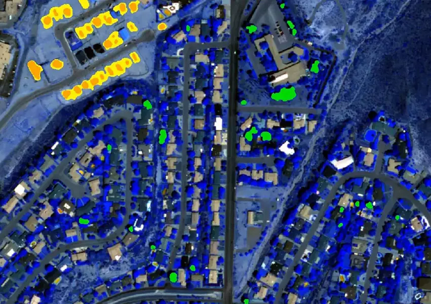
Resources exploration and geological mapping
Hyperspectral and multispectral imagery analysis for mineralogy, lithological mapping and exploration target identification. Terrain analysis from LiDAR supports structural geological interpretation.
GOVERNMENT
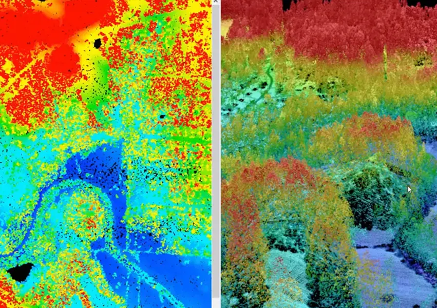
Land use and urban change analysis
Monitor urban growth, land use change and land cover transitions using multi-temporal satellite imagery. Support planning, reporting and policy analysis with consistently classified spatial datasets.
Octave Imagine pairs naturally with Veris Reality Capture services
Veris captures UAV, LiDAR and aerial data through its Reality Capture services and Octave Imagine is the processing platform of choice for that data.
Talk to Veris about Octave Imagine
Enquire about Octave Imagine (formerly ERDAS IMAGINE) licensing, book a demonstration or ask about training for your remote sensing and imagery team.