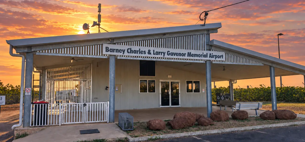
Mornington Island Residential Lot Survey
Veris was engaged to reinstate and peg the boundaries of 10 residential lots on Mornington Island and undertake a comprehensive contour and detail survey, providing council with accurate cadastral and topographic information to support land management and future planning activities.
Solution
Working in a remote regional location, the Veris team reviewed existing cadastral information, identified and verified survey evidence, and reinstated property boundaries in accordance with statutory survey requirements. Boundary pegs were installed to clearly define lot extents on the ground.
In parallel, a detailed contour and feature survey was completed across all 10 lots, capturing existing surface levels and site features to provide an accurate representation of site conditions. The resulting survey information delivered a reliable spatial dataset that council can use to support future assessment, planning and development decisions.
Outcomes
The project provided council with clearly defined and physically marked property boundaries across 10 residential lots, reducing uncertainty around lot extents and supporting effective land administration.
Through the delivery of accurate cadastral and topographic information, Veris supplied a dependable survey dataset that can be used to inform future planning, infrastructure assessment and development activities. The coordinated delivery of boundary reinstatement and contour surveying ensured council received consistent, high-quality spatial information to support informed decision-making and future investment in the area.