
Wine Australia Digitised Wine Region Boundaries
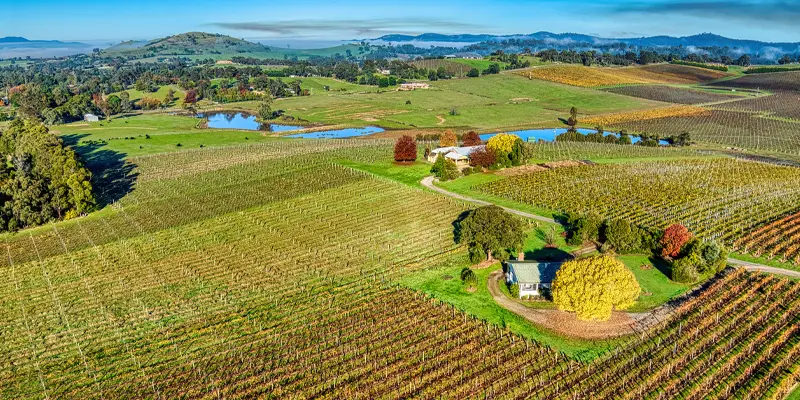
Australia has fast become one of the leading wine producing regions ranking inside the top 5 exporters globally. Wine Australia reported total wine exports of over $2.8 billion for 2018, with conditions favouring continued year on year growth for 2019 and beyond.
Remaining competitive and sustaining growth in both domestic and international markets relies on many factors beyond the quality of the wine in the bottle, however. Geographical Indications (GI) are one such factor. These official descriptions defining Australian viticulture zones, regions and sub-regions create expectations and assurances relating to the origin of the wine which can contribute to the success of winemakers and protect their investments.
Wine Australia is an Australian Government statutory authority established to support sustaining a competitive wine sector by investing in research, development and extension (RD&E), growing domestic and international markets, protecting the reputation of Australian wine and administering the Export and Regional Wine Support Package. One of its key roles is ensuring the integrity of Australian wine exports including compliance with regulations relating to claims that can be made on wine labels regarding the variety and source region of the wine.
The Spatial Vision team, now operating in Veris was engaged by Wine Australia to re-digitise Australian Geographical Indications (GI) boundaries. The existing digital versions of the legal boundaries were outdated and inaccurate, due to limitations in technology available when they were first prepared. Spatial Vision aimed to correct this through re-digitising the boundaries to ensure accuracy and alignment with the legal descriptions and facilitate the more widespread use of the data for a range of analytical, marketing and educational purposes.
The Challenge
In accordance with the Wine Australia Act 2013, Wine Australia is responsible for the maintenance of the Register of Protected Geographical Indications (GI) which are an official description of an Australian viticulture zones, regions or sub-regions. Much like fine art, provenance in the wine sector is of critical importance and value. A variety of regulatory conditions therefore govern the use of GI names on wine labels for example, and other legal documentation that communicate and prove a bottle’s origin, variety, vintage and journey from grape to glass.
The GI boundaries are legally defined as textual descriptions. The existing GI boundaries had previously been digitised using a variety of datasets from different sources, produced for varying standards, formats, accuracies and use cases. As such, discrepancies and accuracy issues were identified in the files themselves and when compared with one another resulting in an information source that could not be relied upon by the wine sector.
The Solution
Wine Australia engaged the former Spatial Vision team to re-digitise Geographical Indications (GI), including the zones, regions and sub-regions that define wine growing areas in Australia with an embedded descriptor that associates the boundary with its legal definition.
The team used advanced spatial analysis processes to redefine a total of 77 GI Boundaries across four states, with a consistent scale and method. The outcome was a data source with improved spatial accuracy and reliability that not only supported advanced analytics, planning, reporting and other key decision-making tasks but facilitated export compliance with National and International regulations for Australia’s 2000+ wineries.
The solution involved aggregating and breaking down data through ESRI file geodatabases to ensure consistency of data format and easy interpretation of GI descriptions. Some of this data included use of property boundaries, transport, hydrology and other thematic data layers describing the landscape and environment.
The official GI textual descriptions were then used to identify a series of points that would provide a basis for defining the boundary.
Finally, mapsheets and coordinates were separated from feature descriptions and placed in separate ‘records’ for ease of interpretation and Quality Assurance.
The outcome incorporated GI boundaries that were captured to a consistent scale and method across all Australia’s winegrowing regions.
The Benefits
- Accurate, definitive digital representations of the official GI boundaries enables data to be used in more applications
- Supports planning and key decision making tasks to aid industry growth
- GI textual descriptions can be easily interpreted as a result of parsing descriptions
- Ensures export compliance with National and International regulations.