
Customised GIS Training in Action: ArcGIS Pro Upskilling for DEECA
Building real GIS capability takes more than off-the-shelf training. It requires learning that is tailored to your data, your workflows, and the challenges your team faces every day.
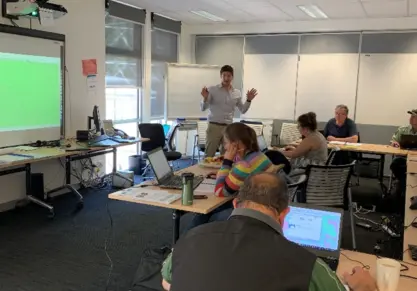
That’s exactly what Veris delivered for the Department of Energy, Environment and Climate Action (DEECA) through a customised ArcGIS Pro training program in Noojee, Victoria.
The challenge: practical GIS skills. Delivered regionally
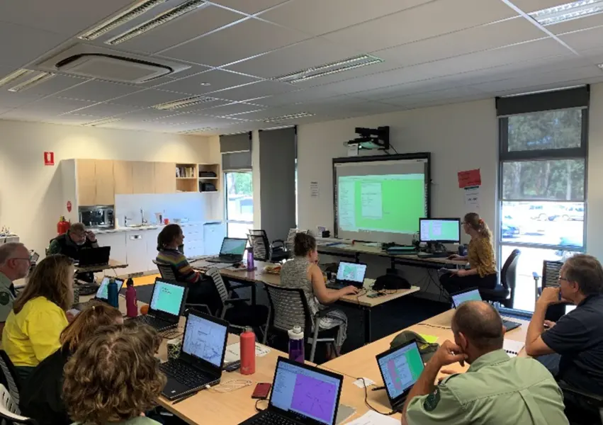
DEECA needed a practical hands-on GIS training solution to upskill staff in ArcGIS Pro. The goal was not just familiarity with the software, but confidence in using spatial data to support day-to-day decision-making, mapping and analysis.
The training needed to be:
- Tailored to DEECA’s existing datasets and workflows
- Focused on practical, immediately applicable skills
- Delivered on-site in regional Victoria, requiring careful planning around logistics, travel and technical set up.
The solution: a customised ArcGIS Pro training program
Veris designed and delivered a tailored version of the Introduction to ArcGIS Pro course, built specifically around DEECA’s operational requirements.
Preparation was key. Our training team:
- Developed customised course notes and exercises aligned to DEECA’s workflows.
- Sourced and prepared client-specific datasets for hands-on activities
- Printed and bound workbooks to support in-session learning and future reference
- Visited DEECA’s Noojee site ahead of time to configure hardware, software, and training environments.
By setting up and testing everything in advance, we minimised downtime and ensured participants could focus entirely on learning.
Key features of Veris’ customised GIS training
Training built around your data: Participants worked directly with DEECA datasets, making the learning immediately relevant and transferable.
Hands-on, practical learning: Exercises focused on real-world GIS tasks, not abstract examples.
Pre-configured workspaces: Reduced set up time and ensured consistency across all participants.
On-site preparation and support: Early set up allowed potential technical issues to be identified and resolved before training commenced.
Adaptability in the field: When unexpected challenges arose, such as power outages, the training team adapted quickly to maintain engagement and deliver all planned content.
The outcome: confident, capable GIS users
The customised ArcGIS Pro training was met with positive feedback from all participants. By the end of the course, staff were confidently able to:
- View, explore and query map layers
- Manage and edit spatial data
- Create map outputs for reporting and analysis.
Most importantly, the tailored approach meant participants could immediately apply their new GIS skills within their existing workflows.
This engagement strengthened DEECA’s GIS capability and confidence in using spatial tools and reinforced the value of training that is designed around real organisational needs.
Why customised GIS training matters
No two organisations use GIS in the same way. Customised GIS training ensures your team learns the tools, workflows and techniques that matter most to your organisation, whether you’re working in government, environment, utilities or planning.
At Veris, we combine deep spatial expertise with practical training delivery to help organisation’s build lasting GIS capability.
Explore Veris’ complete range of GIS Training courses.
Contact us about your Custom GIS Training requirements and mentoring offerings