Recent Trends in Four Lidar Technologies
Lidar technology is synonymous with 3D point clouds. What are the latest trends for the four most popular Lidar platforms, and how are the developments benefiting end users of the point cloud data?
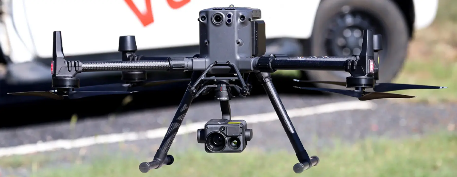
Within the spatial industry there are four popular platforms for producing point clouds: 1) Airborne Lidar which captures data from above using aircraft and unmanned aerial vehicles (UAVs or ‘drones’), 2) Mobile Lidar mounted on moving vehicles including road, rail and boats, 3) Terrestrial Lidar captured from a static platform typically using a tripod, and 4) Handheld, short-range Lidar using SLAM technology.
Each platform plays an important role in generating Lidar-captured point clouds and each one offers a unique perspective on the world – from airborne which can be captured at scale across cities to handheld SLAM for rapidly capturing detail within indoor spaces
Nathan Quadros, Brenton Weigler and Brad Chambers from Veris have co-authored an article in GIM International magazine sharing some interesting insights on Airborne, Mobile, Terrestrial and Handheld, short-range Lidar.
Read the article here.