Launceston Virtual City Model
Settled in 1806, Launceston is one of Australia’s oldest cities with one of the best-preserved early cityscapes in Australia including elegant Colonial and Victorian architecture and century-old parks. Staying true to the heritage and spirit of this charming city is essential to planning its future.
In particular, the Launceston city centre is an iconic and fundamental part of its social and economic fabric so when Launceston City Council set about planning for an urban renewal project a state-of-the-art virtual city model was wanted to help clarify its vision. Veris played a lead role developing detailed 3D models of the city centre that will support effective planning, visualisation and community consultation throughout this revitalisation project and beyond.
Scope
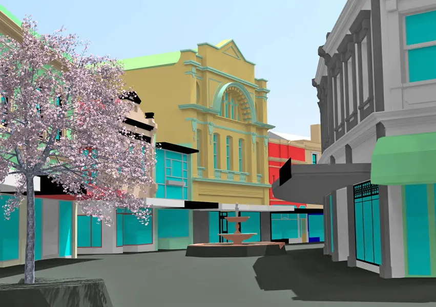
Veris applied its leading-edge 3D modelling tools and capabilities to create a detailed virtual 3D models of Launceston’s city centre.
This model is assisting Launceston City Council and key stakeholders with urban planning, simulation, heritage documentation and community consultation as the city seeks to revitalise its heart.
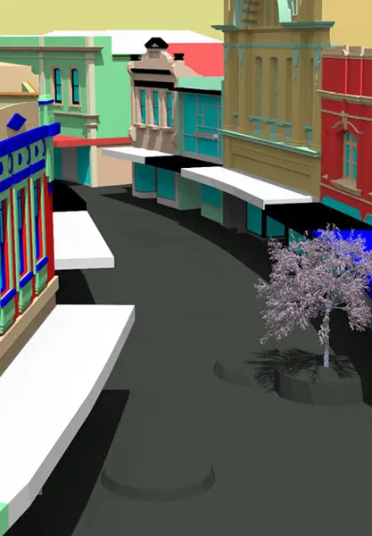
Using a fusion of both street level mobile laser scanning and point cloud data taken from aerial imagery, Veris created highly detailed 3D CAD models of more than 200 individual buildings. While all this may seem far removed from bricks and mortar, these tools provide stunningly accurate insights into the existing cityscape and the stories it has to tell.
The 3D ‘digital city’ developed by Veris in Tasmania will contribute to smarter planning and smarter design in the bricks and mortar heart of Launceston.